Rochester

October 1, 2011

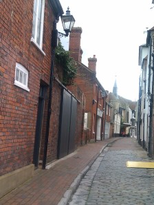
In continuing fine weather, I made a visit to historic Rochester and a short walk along the Medway. Between the station and the river lies the characterful High Street with ancient buildings and many associations with Dickens.

The town is dominated by its Norman castle and the cathedral: to which I made a brief visit and then had lunch in its excellent cafe.

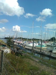
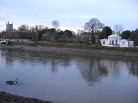
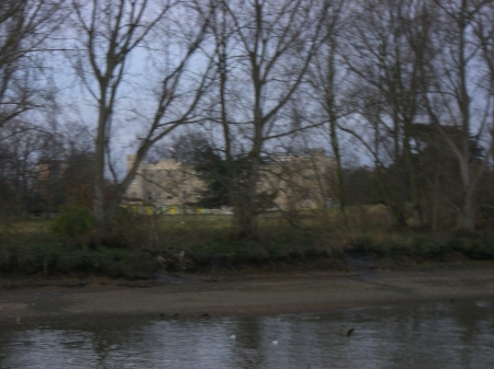
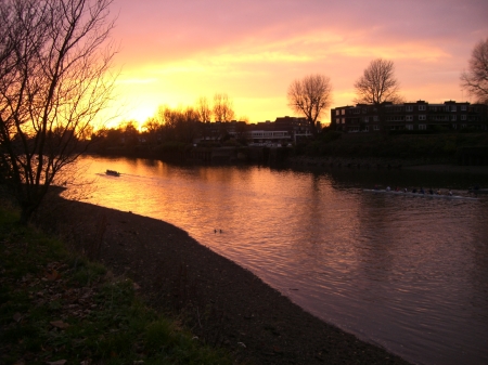
Then I took a clear path by the river Medway 

Rochester is at the point where Watling Street crossed the Medway, now a much broader river than the muddy  stream near Maidstone which  I walked by in August.

I continued along the esplanade
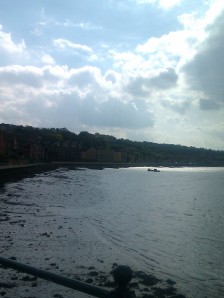
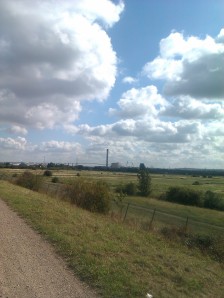
and approached the the M2 Medway Bridge and Channel Tunnel Rail Link. The path continued through a local nature reserve as Footpath RRIL
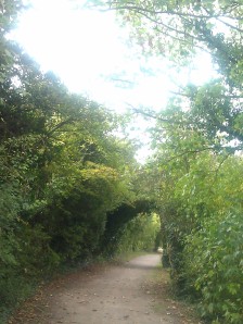
and very pleasant it was.

Unfortunately it seems to have run out beyond the bridge and so I turned round and came back to Rochester. Leaving behind the M2 bridge

back through the nature reserve

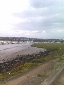
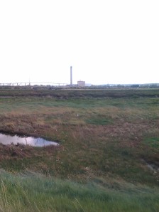
and along by the marshy land at the side of the Medway
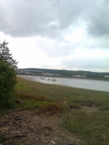
until Rochester came back into view

Looking back along the Medway

and the impressive Rochester Bridge

This time I resolved to visit the castle, begun in 1087.
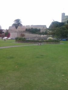
I walked past the  the cathedral, founded in 604, it is the second oldest in England. The present structure dates from the twelfth century 
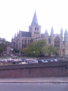
before coming to the castle.

The keep, at 125 feet high, is the tallest in England.  For once, I decided to visit the monument. Inside a winding staircase leads you to the top and is very uneven
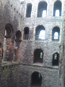
The  square holes beneath the windows were where the timber joists supporting the floors would have been. It was a rather unnerving climb to the top but from there was a good view of the bridge

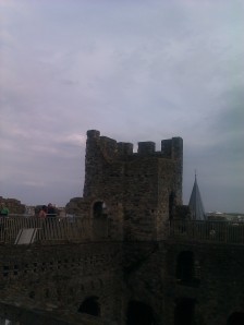
At the top of the keep of Rochester castle

Rochester castle was attacked by King John shortly after Magna Carta and one of the square turrets was destroyed. It was replaced with a round turret, which was felt to be less vulnerable to attack.

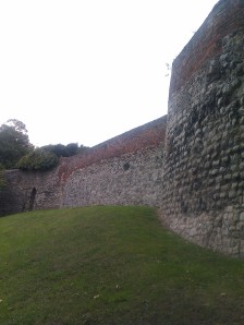
On my way back I passed the ornately carved west door of the cathedral took a peek at the city walls

and back up the High Street to the station. With station links that day’s walk was six miles.


From Erith to Bexley on the London Loop:by the Thames, the Darent and the Cray.

September 21, 2011

The Thames Estuary from Erith


September, and perfect walking weather. Bright sunshine continues and a pleasant temperature. Walking along the estuary is almost like being at the seaside, and, indeed, Erith had a brief flirtation with the idea of being a resort in the nineteenth century before the industry moved in. It has a pier.

For me it is the birthplace of that much lamented comedian: Linda Smith.

Looking across the Thames from Erith to the landscaped rubbish mountains at Rainham

This is the first section in David Sharp’s guidebook to the London Loop and is indeed a magnificent beginning.

Erith's pier. Looking up the Thames in the direction of Dartford.

The walk along the Thames is quite short .(I note with interest that the Thames Path is now extended to these parts.) Then it is necessary to weave your way along roads and industrial sites for a little while before coming to a splendid path which crosses Crayford Marshes.

Crayford Marshes

The raised causeway takes you past Erith Saltings , where a submerged fossilised forest is visible at low tide. In the distance the  Dartford power station can be seen and the Queen Elizabeth the Second Bridge, which takes traffic along the M25.

I’m a big fan of raised causeways, especially when it’s not lightening. There are ditches between you and any grazing wildlife below. Here there were many ponies.

At Crayford Ness the Loop turns inland to follow the River Darent. At its mouth is a flood barrier.

The Darent flood barrier

The area is rich in bird life and I passed keen ornithologists with telescopes. Soon afterwards the river divides and the Loop follows the River Cray. 

Eventually the path comes to an end and wending your way through an industrial estate and crossing the A206 you continue along the Cray more or less all the way to Bexley. Unfortunately, i had neglected to charge my phone and was unable to take any further pictures.

The Cray changes in character and is bordered by willows. The Loop goes through Crayford, where the Roman Watling Street forded the Cray. Then it goes through parkland and passes a historic house Hall Place, where I consumed a cream tea beside the river in the afternoon sunshine.

After this I found my way under a main road and a railway, through a wood to Bexley church with its distinctive spire that starts as a pyramid and has an octagonal shaped part on top.    Bexley has a number of historic houses. I returned from here by train, having added nine miles to the total.


A circular walk around Faversham

September 1, 2011

Faversham Market Place

I owe the idea for this walk, billed as ‘On the Wild Side’, to the excellent Explore Kent website. OS Explorer Map 149 also proved useful. Faversham, which has a railway station, has medieval buildings and a market and declares itself on a mission to provide local home made food. That’s fine by me. There seemed to be a lot of cheerful looking cup cakes.

I headed out to the village of Oare, passing an eighteenth century windmill.


Then, picking up the Saxon Shore Way, walked alongside Oare Creek. The path goes  along the sea wall with the creek on one side and marsh grazing land on the other. Faversham Creek joins it and the land widens into  what seems to be the estuary of the Swale leading eventually to Whitstable Bay. Normally it would be extremely pleasant to walk along slightly higher than the land and the water on either side, with open vistas- a remote and wild place- leading to a bird reserve. However the forecast rain made its appearance earlier than expected. In fact, as I beheld a very large, very dark cloud advancing upon me, I was horrified to observe the one kind of weather I really really wish to avoid walking in- a flash of lightning. I resigned myself to being struck by lightning, as I would have been the highest point for miles around, and ,although grateful for my agreeable life, I regretted that it had not been longer. Just before the rain began to fall, I came to the Sea Wall Hide. To my immense relief it was open. It sheltered me, and others, as the rain pounded on the roof and the thunder roared above.

Taken through the window of the 'Sea Wall Hide' as the rain fell.

After that I continued with no further rain, along the sea wall and then turned inland along a former industrial tram track. After crossing several fields, which had evidence of being inhabited by livestock but no visible livestock, I avoided the fields that did, and returned by a lane and a road to the centre of Faversham having walked seven and a half miles.


Hampton Court circular

August 21, 2009

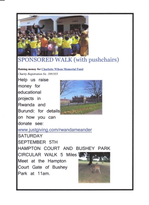
Yesterday’s walk of just over five miles was to check out the route for the sponsored walk we’re doing on Sepember 5th21-08-2009 10;57;43I started in Bushey Park where I was enchanted to see the deer, although less enchanted to learn that they can be fierce, especially in September.
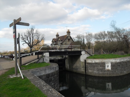
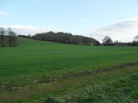
After the children’s playground I headed off to the Heron Pond and noticed that there was another section of the London Loop. As ever it was not easy to find but there was no difficulty in finding the Church Grove exit and returning  via the Thames Path from Kingston Bridge to Hampton Court.


A late afternoon stroll

April 6, 2009

broxbourne-to-roydon-0081

From Broxbourne I followed the Lea until it meets the River Stort at Fieldes Lockbroxbourne-to-roydon-010

It seemed a little strange not to have Lady, the dog, enjoying this walk. Crossing over the weir and heading into Essex, I passed Lower Lock and came across a heron standing on the opposite bank.

I went past the fields where some seventeen years ago, when there had been heavy snow, we had gone sledging.broxbourne-to-roydon-011 

The river here is quite narrow and I find it a particularly picturesque section.

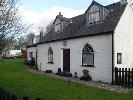
At Brick Lock the keeper’s cottage bears the date 1830 and has a red hand imprinted on it. I would be curious to know why.broxbourne-to-roydon-012

Shortly afterwards I reached Roydon station. The walk from Broxbourne station had been three and three quarter miles.


Slip-sliding away along the River Stort

February 8, 2009

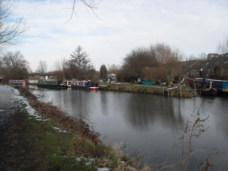
There had been time enough for the recent heavy snowfall to have melted in most parts of the city but out in Hertfordshire there was still a little left. This made the towpath along the Stort Navigation slippery in most places and slushy in many. However it remained passable throughout today’s walk of just under nine miles. There was one point where a stream  covered the path and I judged not even my doughty winter boots could withstand it. I climbed through a fence into the neighbouring field and bypassed it that way.

Although I had no guide, various helpful notices along the way informed me that the Stort navigation was consructed by George Duckett and opened to boats in 1769. The original intention had been to meet up with the Cam and go on to Cambridge but the coming of the railways made this unnecessary. Instead it now terminates at Bishops Stortford.

The railway runs parallel to the river for most of the way, which means that, even on a Sunday it’s easy to pick up the route at a station and choose any number of stopping points. I have to say that I was glad to have had the forethought to take Christiane Rochefort’s rivetting tale of a young woman who falls in love with an alcoholic along ,’Le Retour du Guerrier’, as I had to wait for connections at  Cheshunt .   

Starting at Sawbridgeworth I headed south . I was surprised by how much birdsong there was. I suppose the birds were enjoying a little sunshine after a week of freezing weather. 

The Stort at Sawbridgeworth

The next town passed is Harlow Mill. The map shows the site of a Roman temple nearby. I was reminded that Buntingford, not too far away, had been a substantial Roman settlement . From the river, I didn’t see anything. It is just one of many fascinating places I have not visited on these walks. I never feel like visiting historic monuments in hiking boots and am usually anxious to continue walking and make the most of the daylight. However, since many artefacts are preserved in Harlow Museum, I can always go back.

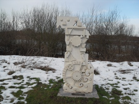
At Latton Lock, on the stretch between Harlow Mill and Harlow Town stations, I came across a piece of sculpture:sculpture-by-the-stort 

Essex sculptor, Angela Burrell, has produced in ‘Mill’  a tribute to the site’s heritage, as a mill once stood on the spot. It is part of the ‘River Stort Sculpture Trail’ of 2007. Later I was to walk past ‘Flowing Onwards by Parndon Lock’ . It is made of millstone grit from County Durham and is by Roydon-based sculptor, Angela Godfrey, whose son, Paul Burgess, attended the same school as my children. I also saw the spheres  by Graeme Mitcheson, which symbolise the link that Harlow  has with the rest of the world. I know I missed more by the pretty Parndon Lock. I’m beginning to suspect that my walks are as remarkable for what I don’t see as for what I do.

The Stort near Harlow

By now the sunny intervals had become very sparse indeed and I was no longer so aware of the birdsong. However, despite the marshiness of this terrain, passing through Parndon Mead, Hunsdon Mead, and Roydon Mead, the path remained firm and solid, never deviating from the side of the Stort. The late start had meant that it was four o’clock by the time I reached Roydon. I discovered that there was an hourly train service, so fearing that I would not make Broxbourne before dark, I stopped and waited for the train from Roydon.  

I had never walked from Sawbridgewrth to Harlow Town before and from Harlow to Roydon but rarely and, in any case , this section has many new developments. I had seen many interesting paths going off in other directions and can only marvel at the number of opportunities for attractive walks in this area. However I had hoped to get to what had been a very familiar walk indeed : from Roydon to where the Stort joins the Lea. Here we used to walk the dog, Lady and in a field nearby,  we had gone sledging the last time it snowed this heavily, many years ago now ,but that will have to wait for another day.  


The New River: Broxbourne to Hertford

January 31, 2009

In mid-January I revisited old haunts. It is now possible to join the New River path at Broxbourne station and walk along the Thames Water service path. There had been heavy rain so the small section of tarmac path allowed me to splash in the puddles, protected by my hiking boots. There are fine views over lakes formed by the extraction of gravel.

Lea Valley Lakes

Lea Valley Lakes

The New River runs almost parallel to the River Lea from Broxbourne to Hertford.

In a mile or so I reached the path which runs behind the house where my children grew up. Here it was that Charlotte walked her dog and picked blackberries and damsons. There is a large cherry tree in the garden and every year at the end of June we had feasted on the sweet dark fruit. The birds had sated themselves on the higher branches so there was always plenty for us. One branch had been cut before we arrived. I suppose it must have threatened to intrude into the garden where our Italian neighbour grew salad vegetables. Now however it seems that other branches have been cut too.

view from the New River of where we used to live

view from the New River of where we used to live

The path then skirts the industrial area of North Hoddesdon and goes through St Margaret’s Community wood. It is necessary to cross a road before picking up the riverside. This is a pleasant stretch of easy walking

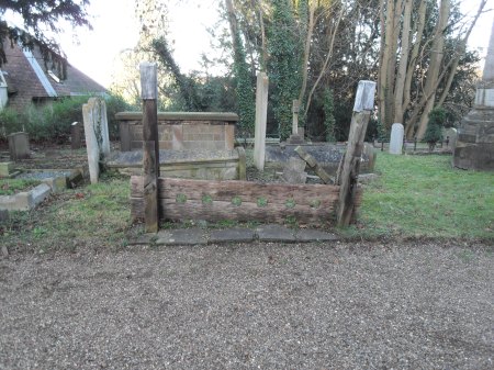
 As the village of Great Amwell is approached the path has a hard surface, welcome on a damp day.  I love this place and held my fiftieth birthday celebration in the village pub. Parts of the church dates back to the eleventh century and there are many fine monuments in the churchyard. I helped to decipher a line on a monument to the Mylne family, who had included two engineers who had worked on the New River. The  restored stocks were pointed out to me:

Stocks in the Church of St John the Baptist, Great Amwell

Stocks in the Church of St John the Baptist, Great Amwell

Below the church there are two islands in the river. On one a monument records that this is one of the original sources of The New River. Amwell is named after Emma, wife of Cnut, and so it is Emma’s well. Another has a monument to Sir Hugh Myddleton.

one of the islands in the New River at Amwell

one of the islands in the New River at Amwell

The path then goes on via Ware and across marshy land to Hertford. The distance walked that day was 8.43 miles bringing January’s total to almost seventeen miles. There will be more time in February and more light and perhaps better weather too.


Oxford to Abingdon along the Thames Path

January 5, 2009

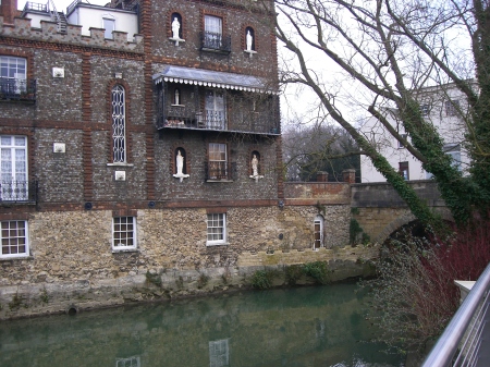
The sun was a huge red ball as I left Paddington at 8.22am on the Oxford train but I didn’t see it again for three hours. When I arrived, Oxford was doing what it does best in winter : mist and cloud. So I set off briskly for the Osney Bridge and the path towards Abingdon. It was definitely not a day to linger. I was anxious to make the most of the precious daylight so only glimpsed the odd gleaming spire from afar as I passed through Christ Church Meadow. Before that the Folly Bridge has a Victorian house with alabaster statues in niches

The Folly Bridge, Oxford

The Folly Bridge, Oxford

I was lucky, given the season, that I encountered no flooding on this stretch of the Thames Path. There was just the usual mud to be expected on any footpath in winter. My walking boots kept me dry with no problem. Indeed, having passed through the Iffley meadows, I had been led to expect some quite spectacular weir in ‘The Sandford Lasher’ dangerous to man and beast, but, despite being ‘the greatest fall of water on the Thames’, that day it seemed quite tame. This stretch of river had many sites of ancient mills. I was interested to read that paper was once made from rags. During the plague rags from London had inadvertently spread the infection. I wondered if any of these ancient and labour intensive methods of manfacture would be revived owing to the credit crunch.

From now on the cyclists, joggers, rowers and even dog walkers were left behind and, on a mid-winter Tuesday, I walked on in solitude. I am used by now to the fact that the number of sentences in the excellent Thames Path guide book by David Sharp does not correspond to the length of the section of actual walking but this ‘lush wild stretch’ went on for over two hours walking to one sentence of guidebook. The sun made an appearance. Really ,it did.

Between Sandford and Radley

Between Sandford and Radley

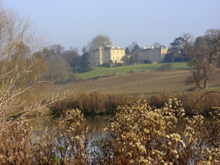
Eventually I came to a view of an impressive eighteenth century Palladian mansion, Nuneham House. 
Nuneham House

Nuneham House

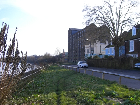
The railway line crosses the river and then gradually the dog walkers return as Abingdon is approached.

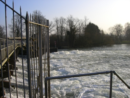
Abingdon Weir

Abingdon Weir

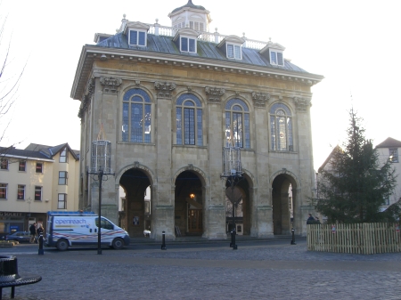
I finished the walk after ten miles and had a late lunch in the charmingly quaint town of Abingdon with its striking county hall

Abingdon County Hall

Abingdon County Hall

Although I initially got the impression that you can go anywhere from Abingdon as long as it’s Oxford, I was able to use my freedom pass on a bus to Didcot railway station. However there was a long cold wait as the bus stop lied about the length of time it would take the bus to arrive. Nevertheless a start has been made on this very pretty section of the Thames Path.


Kew Bridge to Putney

December 20, 2008

The walk along the Thames Path was resumed today after a break caused by winter colds and Christmas shopping. At the end of November I had clocked up 151 miles and today’s walk added another five and three quarters. This now means that, in bits, I have walked the length of the path from Windsor to the Thames Barrier.

It was a mild day but the forecast sunny spells didn’t really materialise. By now the trees have lost most of their leaves and the river scene has a gentle chalky blue colouring as though drawn in pastel.

The walk took me past the old Mortlake Brewerymortlake-brewery

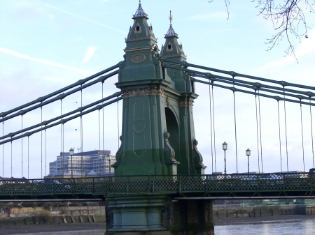
The path continued muddy past Chiswick and  Hammersmith.

Hammersmith Bridge

Hammersmith Bridge

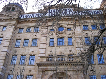
A little further along is the imposing Harrods Furniture Repository, now used as apartments.

Harrods Furniture Repository

Harrods Furniture Repository

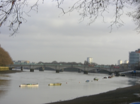
Shortly afterwards I could hear, on the North Bank, community singing coming from Craven Cottage, home of Fulham Football Club, but was unable to make out what was being sung. Then, with medieval churches at each end , Putney Bridge came into view. Like Hammersmith Bridge and much else besides, this bridge was designed by the great Victorian engineer, Sir Joseph Bazalgette. It was a conversation on a train that alerted me to the fact that Bazalgette had been born in my home town of  Enfield.

Putney Bridge

Putney Bridge

I was now back in the spot where we launched our ‘Walk to Rwanda’ in June but very far from finished.


Arcadian Thames

November 24, 2008
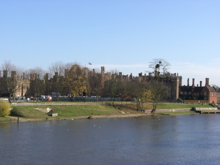
Hampton Court Palace from the bridge over the Thames

Hampton Court Palace from the bridge over the Thames

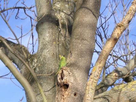
The low winter sun was in front of me as I started to walk westwards from Henry the Eighth’s magnificent palace but very soon I ‘overtook’ it as the short winter afternoon began. This stretch of Thames is known as Arcadian Thames, as on either side there are palatial residences and pleasant parks. The parakeets are much in evidence here:

hampton-court-to-kew-bridge-007

After three miles I reached Kingston and had a picnic lunch in a park , Canbury Gardens, which had once been the site of a power station. I sat on a bench which was dedicated to the memory of someone who had been born on my brother’s birthday, 18th July, and died on Charlotte’s birthday, June 4th.

Another two miles took me to Teddington lock, a complex system of locks and the largest on the Thames.hampton-court-to-kew-bridge-011

From here you can walk on either bank. I took the shorter route to Richmond along the South bank. On either side is the greenery of a nature reserve, the Ham lands. A cyclist informed me there was a heron fishing from the Young Mariner’s base and it came there everyday, but I didn’t see it. That doesn’t mean of course that it wasn’t clearly visible. I don’t always see what other people see. The Ham Lands were filled with rubble from London’s bomb sites in the early 1960s and now these former gravel pits are extensively covered in trees and shrubs and make for a very rural backdrop to the Thames path.

Having walked past Ham House a stately  seventeenth century mansion,

Ham House, now owned by the National Trust

Ham House, now owned by the National Trust

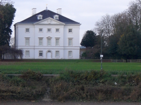
I saw across the river, shortly afterwards an extremely elegant villa, Marble Hill, built in 1723 for a mistress of the Prince of Wales.

hampton-court-to-kew-bridge-015

 The sight of Richmond on the hill is impressive: towering, as it does, elegantly over the river.

Richmond

Richmond

I found the river front stunning. The Old Town Hall dominates.  Nearby the Tudors had built a palace.

I snapped up the chance of a cone of very superior Italian ice cream.  In a shocking disregard for appropriate timing, since Advent hasn’t even started yet, I chose Christmas pudding flavour. It was delicious with dried fruit and spices and maybe some brandy.

It’s parkland and palaces for the next four miles to Kew Bridge with the tower blocks of Brentford in the distance.

 There is a University now at Kingston and maybe that is where the rowing eights came from. I’m happy to report that I saw both men and women eights ( but not mixed!).

I passed a lodge in the form of a temple

one of the lodges to Syon Park

one of the lodges to Syon Park

and then, in fading light, glimpsed Syon Park through the trees on the opposite bankhampton-court-to-kew-bridge-020 

The path here skirts Kew Gardens and passes the red brick Kew Palace. So I came to Kew Bridge just as the sun was setting.

The Thames at Kew.

The Thames at Kew.

The walk that day added another ten and a quarter miles to the total.