Viking Coastal Trail: a short evening walk from Margate

September 4, 2012

I missed the bad weather which hit much of the country on 1st July. The black clouds yielded but a few drops of rain

The Viking Coastal Trail is largely traffic free and hugs the coast. I left Margate heading East in the direction of Broadstairs with views of the white cliffs 
Past Walpole Bay, then Palm Bay: its golden sands deserted. Whether this was owing to the weather or the school term or simply the fact that something dire seems to have happened to Margate in the sixties, I cannot say.

A large wind farm could be seen off the coast. Which is where the residents of Sillfield in Cumbria would like to see the one in their next village.

Rounding Foreness Point, I was not surprised to see a fortification. After all, this is the coast facing our historical enemy.
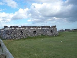
All I can find out about the above is that it is a Tower. Then round the next corner, as it were, I was much more surprised to see a fully fledged castle

It might be dark and rainy but it is still summer 

There’s a teeny stretch of (rather dangerous) road here at Kingsgate. A sign on the gate helpfully gave information about this imposing building. It tells us that Kingsgate Castle was built in 1760 by Henry Fox, the first Lord Holland. Later it became the residence of John Lubbock, the first Baron Avebury whose arms adorn the main gateway. It is now divided into private residences. I hadn’t realised that the present Lord Avebury, whose victory for the Liberal Party at Orpington  in the 1960s prompted the satirical programme ‘That Was The Week That Was’ to illustrate how Liberals believed that Orpington was the centre of the world, had quite such a splendid past.

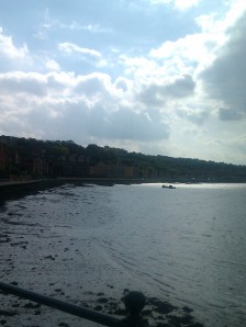
The weather on the return journey was ominous but having had dinner, I was able to enjoy the sight of the slowly darkening sky  as the sun set over the sea.

This evening view was a welcome change from life in the city.


Rochester

October 1, 2011

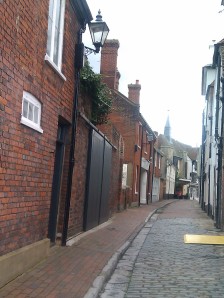
In continuing fine weather, I made a visit to historic Rochester and a short walk along the Medway. Between the station and the river lies the characterful High Street with ancient buildings and many associations with Dickens.

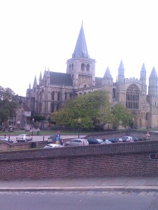
The town is dominated by its Norman castle and the cathedral: to which I made a brief visit and then had lunch in its excellent cafe.

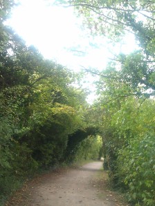
Then I took a clear path by the river Medway 

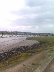
Rochester is at the point where Watling Street crossed the Medway, now a much broader river than the muddy  stream near Maidstone which  I walked by in August.

I continued along the esplanade

and approached the the M2 Medway Bridge and Channel Tunnel Rail Link. The path continued through a local nature reserve as Footpath RRIL

and very pleasant it was.

Unfortunately it seems to have run out beyond the bridge and so I turned round and came back to Rochester. Leaving behind the M2 bridge

back through the nature reserve

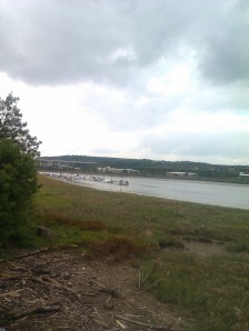
and along by the marshy land at the side of the Medway

until Rochester came back into view

Looking back along the Medway

and the impressive Rochester Bridge

This time I resolved to visit the castle, begun in 1087.

I walked past the  the cathedral, founded in 604, it is the second oldest in England. The present structure dates from the twelfth century 

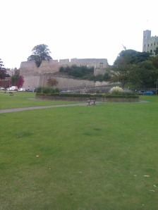
before coming to the castle.

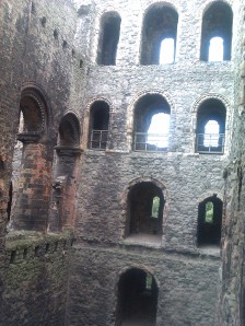
The keep, at 125 feet high, is the tallest in England.  For once, I decided to visit the monument. Inside a winding staircase leads you to the top and is very uneven

The  square holes beneath the windows were where the timber joists supporting the floors would have been. It was a rather unnerving climb to the top but from there was a good view of the bridge

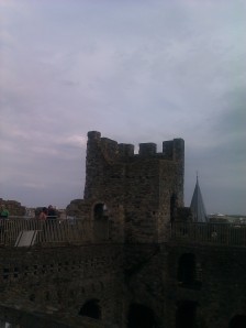
At the top of the keep of Rochester castle

Rochester castle was attacked by King John shortly after Magna Carta and one of the square turrets was destroyed. It was replaced with a round turret, which was felt to be less vulnerable to attack.

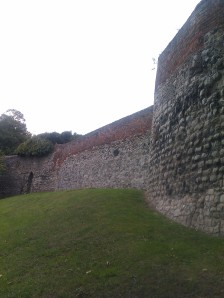
On my way back I passed the ornately carved west door of the cathedral took a peek at the city walls

and back up the High Street to the station. With station links that day’s walk was six miles.


A circular walk around Faversham

September 1, 2011

Faversham Market Place

I owe the idea for this walk, billed as ‘On the Wild Side’, to the excellent Explore Kent website. OS Explorer Map 149 also proved useful. Faversham, which has a railway station, has medieval buildings and a market and declares itself on a mission to provide local home made food. That’s fine by me. There seemed to be a lot of cheerful looking cup cakes.

I headed out to the village of Oare, passing an eighteenth century windmill.


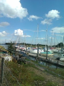
Then, picking up the Saxon Shore Way, walked alongside Oare Creek. The path goes  along the sea wall with the creek on one side and marsh grazing land on the other. Faversham Creek joins it and the land widens into  what seems to be the estuary of the Swale leading eventually to Whitstable Bay. Normally it would be extremely pleasant to walk along slightly higher than the land and the water on either side, with open vistas- a remote and wild place- leading to a bird reserve. However the forecast rain made its appearance earlier than expected. In fact, as I beheld a very large, very dark cloud advancing upon me, I was horrified to observe the one kind of weather I really really wish to avoid walking in- a flash of lightning. I resigned myself to being struck by lightning, as I would have been the highest point for miles around, and ,although grateful for my agreeable life, I regretted that it had not been longer. Just before the rain began to fall, I came to the Sea Wall Hide. To my immense relief it was open. It sheltered me, and others, as the rain pounded on the roof and the thunder roared above.

Taken through the window of the 'Sea Wall Hide' as the rain fell.

After that I continued with no further rain, along the sea wall and then turned inland along a former industrial tram track. After crossing several fields, which had evidence of being inhabited by livestock but no visible livestock, I avoided the fields that did, and returned by a lane and a road to the centre of Faversham having walked seven and a half miles.